

In a world already warmed by human-caused climate change, a new El Niño event could further contribute to rising global temperatures this year and next. Climatologist Vladimir Đurđević, a full professor at the Faculty of Physics of the University of Belgrade, speaks to Balkan Green Energy News about the term “super El Niño,” explaining how the phenomenon develops and how it affects weather around the world.
El Niño is a phenomenon that occurs when large amounts of warm water accumulate in the western tropical Pacific, near the coasts of Asia and Australia, “spill over” across the tropical Pacific, all the way to the coasts of Central America and the northern parts of South America, explains climatologist Vladimir Đurđević.
A year in which this occurs is called an El Niño year. According to him, the process usually begins in late December, while its most pronounced effects are typically observed during the following year.
El Niño is just one phase of a more complex phenomenon known as the El Niño – Southern Oscillation
Interestingly, the phenomenon was first observed by Peruvian fishermen four centuries ago. They noticed an occasional unusual warming of the tropical Pacific Ocean around Christmas and named it El Niño de Navidad, which translates from Spanish as “the Christ Child” or “the Christmas Child.” El Niño means “the boy.”
El Niño is just one phase of a more complex climate pattern known as the El Niño – Southern Oscillation (ENSO). ENSO has three phases: the neutral phase, the El Niño phase, and the La Niña (Spanish for “the girl”) phase.
Under neutral conditions, sea surface temperatures in the Pacific Ocean are colder in the east and warmer in the west. When sea surface temperatures in the central and eastern tropical Pacific rise by at least half a degree above average over a prolonged period, it creates conditions for an El Niño event. On the other hand, when sea surface temperatures in that region are below average, they create conditions for La Niña.
El Niño and La Niña typically occur every two to seven years and usually last between nine and 12 months.
Why do we talk about a “super El Niño?”
This year’s El Niño has been given a range of nicknames, from a “super El Niño” to a “Godzilla El Niño.” The United States National Oceanic and Atmospheric Administration (NOAA) says there is a 63% chance that it will become “very strong” near the end of the year and rank among the largest El Niño events since 1950.
Đurđević explains that the intensity of El Niño is monitored in a specific region of the tropical Pacific by measuring how much surface temperatures exceed average values.
When certain thresholds are exceeded, it is considered an El Niño phase. However, there is no specific, strictly defined threshold for the so-called “super El Niño.”
“If the warm water spreading across the tropical Pacific is significantly warmer than in typical El Niño conditions, then it is referred to as a super El Niño,” Đurđević explains.
Why are El Niño years warmer?
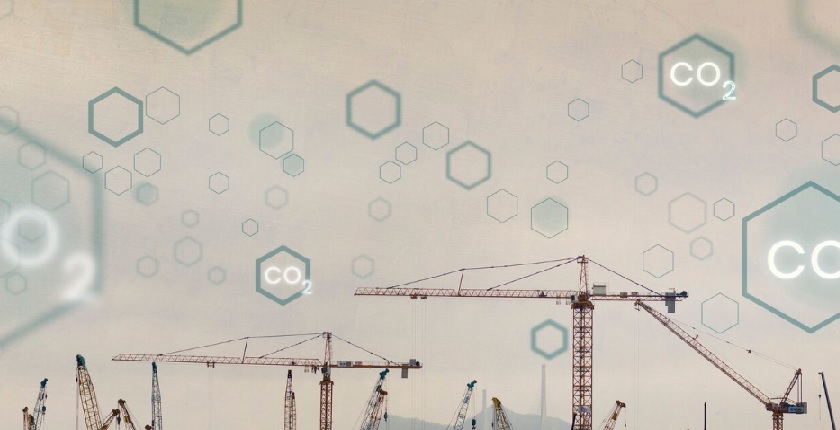
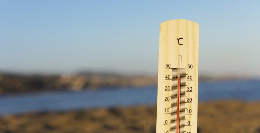
Years with a strong El Niño, or those following its onset, are often among the warmest. The year 2024 was the warmest on record since instrumental measurements began. At the same time, it was the first calendar year in which the average global temperature was over 1.5 degrees Celsius above pre-industrial levels. According to the World Meteorological Organization (WMO), El Niño conditions in 2023 and 2024 contributed to the higher global temperatures.
“In an El Niño year, when warm water spreads across the entire Pacific, a large amount of heat is transferred from the ocean into the atmosphere. That’s why those years are warmer. When it comes to a super El Niño, the phenomenon is simply amplified and more pronounced than usual,” says Đurđević.
The scientific community offers different estimates: some suggest that 2026 could become the warmest year since instrumental measurements began, while others believe that 2027 could surpass even a record potentially set in 2026.
Guterres: El Niño will pour fuel on the fire of a warming world
When it comes to the relationship between El Niño and climate change, Đurđević points out that there is currently no firm or straightforward link to confirm that global warming is altering the very dynamics of the phenomenon.
However, El Niño today occurs in a world that is already warmer due to climate change. Temporary warming associated with the phenomenon adds to the existing trend of rising global temperatures, which is why El Niño years can be even warmer.
“El Niño conditions will pour fuel on the fire of a warming world,” Un ited Nations Secretary-General António Guterres has warned.
The greatest impacts of El Niño are felt in tropical and subtropical regions
Since El Niño develops in the tropical part of the Pacific, its most visible impacts are usually felt in tropical and subtropical regions.
Đurđević explains that the connection between what happens in the Pacific and weather patterns is strongest precisely in that belt, along the west coasts of North and South America, in parts of Southeast Asia, Australia, Indonesia, the island states between Asia and Australia, as well as in certain parts of tropical Africa and the Atlantic.
The impacts vary from region to region. While some regions experience higher temperatures, reduced rainfall, droughts, and a higher risk of wildfires, others may face heavier precipitation and flooding during El Niño. In parts of Southeast Asia and Australia, El Niño is often associated with drier and warmer conditions, which increases the likelihood of droughts and wildfires, while parts of the Pacific coast of South America may experience higher rainfall and an increased risk of flooding.
El Niño affects agriculture, infrastructure, and energy systems around the world
During El Niño, smaller amounts of cold, nutrient-rich water reach the surface along the western coast of South America. As a result, less food is available for marine organisms, which can affect fish stocks and communities that depend on fisheries.
Higher sea temperatures put additional stress on coral reefs, which are already under pressure from climate change.
The impact is also visible in tropical storm patterns. During El Niño, the Atlantic hurricane season is often milder, as changes in wind patterns make it more difficult for storms to form and intensify. In the Pacific, on the other hand, El Niño can contribute to the development of stronger tropical storms.
Such weather conditions affect agriculture, infrastructure, and energy systems around the world. In some tropical regions, changes in temperature and precipitation can also have health impacts.
Đurđević cites the example of tropical East Africa, where increased rainfall can facilitate mosquito breeding and the spread of mosquito-borne diseases such as malaria.
Does El Niño affect the Balkan region?
Serbia, Đurđević explains, is located in the mid-latitudes, where there is no clear or straightforward link between El Niño and local weather conditions.
“In the mid-latitudes, where we are located, there is no clear or straightforward relationship. We cannot say that in an El Niño year, we know whether we will have more or less rain, or a warmer or colder summer,” explains Đurđević.
According to him, the likelihood of warmer weather in the Balkan region may slightly increase during El Niño, but such a scenario cannot be considered certain.